
Guide to Identifying Symbols on a Topographic Map
The symbols on a topographic map are used consistently to identify key, relatively stable features of the landscape. See the chart for a list of symbols commonly found on topographic maps.
Note: an asterisk (*) indicates where slight changes to symbols and symbol names were made, based on National 4-H Forestry Invitational guidance
-
Ecosystems Symbols
Green shading indicates a wooded area 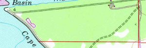
Open grass and farmlands are white 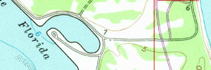
Sand dunes and coastal dunes are tan with speckles 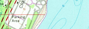
Lakes and oceans are colored blue 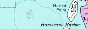
Perennial streams and rivers are blue lines 
An intermittent stream is a broken blue line of dots and dashes 
A spring is a circle with a squiggle 
Marshes have short blue horizontal lines 
Mangrove forests are shown as squiggle lines on top of green 
Trees planted by humans, including orchards and golf courses, are shown as green circles in rows 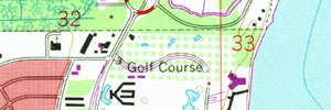
Urban areas, including cities and towns, are shaded in gray or red. 
New information added by aerial photograph to the map is shown in purple. 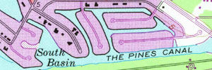
-
Land Use Symbols
Gravel pits 
Quarries 
Mine tunnels 
Power transmission lines* 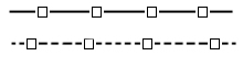
Railroads- multiple track* 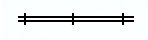
Railroads- single track 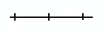
Campgrounds 
Primary highway* 
Unimproved roads 
Bridges 
Trails 
House of worship* 
School 
Cemetery 
Building* 
Water tank 
-
Features Symbols
Contour lines* 
Ridges 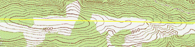
Valley 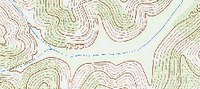
Peak 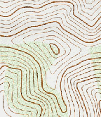
Saddle 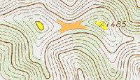
Depression 